The best London routes for confidence-building long runs let you control the distance without losing your sense of where you are. A contained park loop, a clear riverside path, or a route with a visible landmark at the finish can make a longer effort feel manageable. The surface, the chance to turn back, the amount of street running, the lighting, and the conditions after rain matter as much as the distance.
Start with a route familiar enough to finish comfortably, then add distance in small steps. London gives you several ways to do that, from crushed-limestone trails in Richmond Park to Thames paths that you can shorten when your legs are not ready for the full outing. If uneven ground still feels new, a five-mile trail loop may be a better next step than a longer park circuit.
Key takeaways
- The Richmond Park Tamsin Trail is about 11.7 kilometers, so it suits runners ready to move beyond shorter urban runs.
- After rain, the Tamsin Trail’s lower sections near Ham Gate can hold water and turn muddy, so allow for slower footing.
- High tide can make the Putney, Teddington Thames Path unusable when the London Bridge forecast reaches 7.0 meters or more, so check the level before setting out.
- During the six-week deer-cull periods beginning November 1 and February 1, plan Richmond Park runs for daytime because gates may close from 8:00 p.m. to 7:30 a.m.; Friday and Saturday nights are excluded.
Choosing a Confidence-Building Route
A route should match your current long-run comfort, not the most impressive distance on a map. Pick a loop when you want a clear finish and no route-finding decisions. A mixed park-and-street route gives you a gradual change of scenery, while a riverside corridor lets you turn around when you have had enough. A landmark route helps when visible progress keeps you calm.
A route map can show walking and running routes before you commit to a start point. That matters when a route crosses several neighborhoods or ends far from where you began.
A park loop keeps you away from traffic but may leave you with no easy exit. A river path is simple to follow, yet high tide or darkness can make it uncomfortable. City routes offer frequent transit stops, though traffic lights and crossings can break your pace. Check how the route behaves when you are tired, not only how it looks on the map.
London Routes by Distance and Running Surface
The figures suggest that riverside routes may offer clearer distance control, but access, tide levels, and available return points still decide how useful that flexibility is.
| Route | Stated Distance | Surface or Setting | Shorten or Extend |
|---|---|---|---|
| Richmond Park Tamsin Trail | 7.3 miles | Crushed limestone park trail | Fixed loop |
| Wimbledon Common | 5 miles | Trail-like common paths | Fixed loop |
| Crystal Palace Park to Dulwich Village | 6 miles | Park paths and city streets | One-way route |
| Barnes, Kew, Richmond circuit | About 6 miles | Thames path and park paths | Circuit |
A fixed loop works well when you want to stop thinking about mileage once you start. You know where it ends and can judge your effort by landmarks along the way. It gives you less room to change the plan if the weather turns or your pace drops sharply.
The Barnes, Kew, Richmond circuit breaks the run into recognizable river and park sections. Crystal Palace to Dulwich asks you to handle streets as well as green space, while Barnes, Kew, and Richmond keep more of the route beside open space and water. Mud, hills, crowded paths, crossings, and an unfamiliar surface can still make a shorter route feel harder than a longer, flat stretch of pavement.
Park Loops and Mixed-Surface Routes
Richmond Park Tamsin Trail
The Tamsin Trail is about 11.7 kilometers around Richmond Park, making it a practical step up from shorter urban runs. Crushed limestone feels softer and more natural than asphalt, and the open setting gives you landmarks that divide the distance into smaller sections.
The lower parts near Ham Gate can collect standing water and develop chalky gravel mud after rain. Wear shoes with enough grip and expect your pace to slow there. If the trail is wet, keep the run easy instead of turning it into a test of speed.
Choose the loop when you can handle the full distance from the start and want one contained outing. It is less suitable when you need a quick exit or want to add distance gradually during the run.
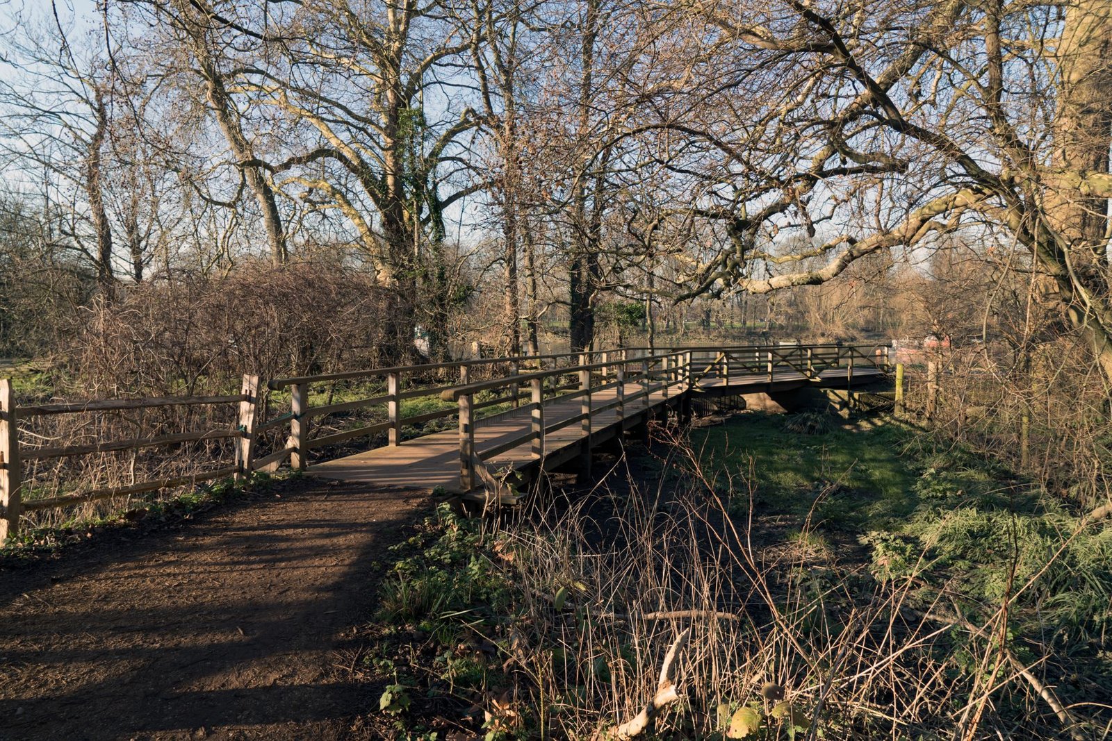
A wooden bridge in Richmond Park during winter with bare trees.
Wimbledon Common
Wimbledon Common gives you a challenging 5-mile loop with a more trail-like surface than most central London routes. It suits a runner moving beyond pavement who is not ready for a much longer outing.
Roots, loose ground, and changing footing can interrupt your rhythm. Keep your pace steady and shorten your stride on rough sections instead of chasing road speed. The route builds confidence by teaching you to run by effort rather than treating every mile as a pace test.
The loop stays within one broad green area, so you can focus on breathing and footing. It does not offer the same easy distance changes as a river path, so plan to complete the loop before you start.
Crystal Palace Park to Dulwich Village
The 6-mile route from Crystal Palace Park to Dulwich Village moves from park paths onto streets and through Dulwich Village. The early green space can settle your pace, while the later urban section asks you to manage crossings, traffic, and changes in footing.
That combination prepares you for longer city runs without putting streets at the centre from the first step. Landmarks and neighborhood streets also show your progress. Arrange the finish before setting off because this is a one-way route; if you need to stop early, use the street network and public transportation rather than assuming the park section will return you to the start.
Riverside Routes With Flexible Distance
Barnes, Kew, and Richmond
The Barnes, Kew, Richmond circuit covers about 6 miles along the Thames and includes Richmond Park. Riverside running gives it a steady rhythm, while the park paths provide a quieter change of setting.
The river provides a clear line to follow, and Richmond Park adds an open section where you can settle into your effort. Choose it when you want more variety than a single loop without spending the whole run on city streets.
Check the tide before using the Putney-to-Teddington section. At high tide, the Thames Path can go under water when the London Bridge forecast level reaches 7.0 meters or more, and access may be cut for one to two hours.
Battersea Park to Hampton Court
The route from Battersea Park toward Hampton Court follows a long stretch of the Thames, but the usable distance depends on access, conditions, and the return points available to you. Set a turnaround before you leave when you want a controlled long run, or continue toward Hampton Court when your plan calls for more distance.
The route is less enclosed than a fixed park loop, so plan water, toilets, and a way back before you extend beyond your usual distance. A flooded section, crowded path, or missing exit can make the distance harder to control than the river line suggests.
Tower Bridge to Woolwich
Tower Bridge to Woolwich provides another adjustable Thames option, with central landmarks at the start and a long river corridor beyond them. Run only part of it for a shorter outing, then add more of the corridor in a later week.
Busy central sections can slow you with pedestrians and crossings, while quieter stretches allow a steadier rhythm. Wind, crowds, and the distance back to public transportation can still make a flat path demanding, so use the river as a guide rather than assuming every part will be easy.

People walking by the waterfront near London’s City Hall on a cloudy day.
Landmark and Green-Corridor Routes
Westminster Abbey to Tower Bridge
The run from Westminster Abbey to Tower Bridge works well when visible landmarks build your confidence. It passes major central London sights, so you can divide the effort into familiar points instead of thinking about the full run at once.
City streets make it different from a park loop. Traffic signals, pedestrians, and crowded pavements interrupt your pace, but they also give you opportunities to pause or leave the route. Keep the effort relaxed through the busiest areas; a slower pace at crossings gives you room to stay alert and finish in control.
Finsbury Park to Alexandra Palace
Finsbury Park to Alexandra Palace follows a disused railway line before finishing with city views near Alexandra Palace. The old railway corridor gives the middle of the run an off-road feel, while the final viewpoint provides a clear reason to continue.
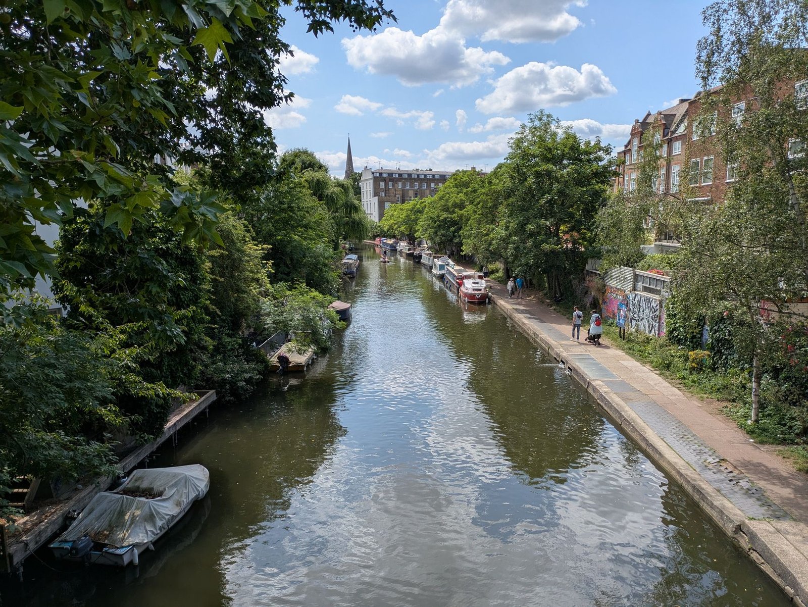
A sunny canal scene in London featuring boats and lush greenery.
Break the effort into three parts: leaving Finsbury Park, settling onto the railway path, and climbing toward the finish. That structure helps if an unmarked loop feels difficult to manage. The route connects different surfaces and neighborhoods, so expect transitions and some street running around the green corridor.
Timing, Surface, and Access Limits
A route that works on a dry afternoon can fail after rain, at high tide, or after a gate closes. Check the conditions on the day and change the route before you leave, not after a flooded path has forced you onto unfamiliar streets. Richmond Park’s pedestrian gates may close overnight during the six-week deer-cull periods that usually begin on November 1 and February 1; the usual schedule is 8:00 p.m. to 7:30 a.m., with Friday and Saturday nights excluded, but the restriction can vary.
Regent’s Canal has no continuous bankside lighting, so it is a poor choice for a fully lit evening run. The Islington Tunnel is not a runnable path section, so runners generally need to leave the canal path and use streets between Colebrooke Row and Muriel Street.
Battersea Park is more predictable after dark, but its limits still matter. The outer loop is 2.2 miles and has formal lighting, generally until the gates close at 10:30 p.m. The separate Millennium Arena track requires a paid pass or an Enable Leisure gym membership; that membership was listed at £35.99 per month in late 2024. Do not assume access to the track because you can enter the park.

A tree-lined pathway in a London park inviting for a summer walk.
Where Common Route Advice Fails
A riverside route is not always continuous or easy to shorten. The tide can cover the path, and the next exit may be farther away than expected. Putney toward Teddington is particularly sensitive to high water, so check the London Bridge forecast level before relying on that corridor. Some river sections also have crowds, crossings, or limited facilities, making a turn worthwhile only when you know where the next public transportation stop and safe exit are.
Park and canal routes create a different kind of false confidence. A green, quiet route in daylight may be poorly lit after sunset. A towpath that looks continuous on a map may force you onto streets at the Islington Tunnel. Crushed limestone and common paths can also change quickly after rain, so check the surface before setting out. When a route has no easy exit, carry enough water for the full planned distance and choose a shorter option if the conditions are poor.
The Final Mile
The best London routes for confidence-building long runs become more useful when you treat access points as part of the route, not an afterthought. Before your next outing, save Ham Gate in your map app and use it as a fixed reference for the Tamsin Trail.
Frequently Asked Questions
Can I run the entire Parkland Walk without leaving the trail?
No, the Parkland Walk is not one continuous off-road run. Its railway tunnels create a street detour between Holmesdale Road and Cranley Gardens, so plan for roughly 1.3 to 1.8 kilometers on roads before returning to the reserve.
Do cyclists have priority on the Regent’s Canal towpath?
The Regent’s Canal uses a voluntary “Share the Space, Drop your Pace” code rather than a statutory cycling speed limit. You need to share the towpath with cyclists and other users, so keep your pace controlled and leave room for people to pass.

I am Ozan, a London-focused running writer and marathon enthusiast with a passion for helping people discover the city’s best races, running routes, walking trails, and fitness events. I research and write practical, up-to-date guides covering marathons, race preparation, training tips, running gear, and everything related to staying active in London.
My goal is to create reliable, easy-to-follow content that helps runners and walkers of all experience levels explore London with confidence, whether they’re preparing for their first 5K or their next marathon.